Map of the route “Schönower Heide Runde”: 20.03 km, 869 m of climbing and 871 m of descent, elevation between 79 m and 123 m, time 04:09:44. It is a loop that starts and ends at 52.66001, 13.53260 (latitude, longitude).
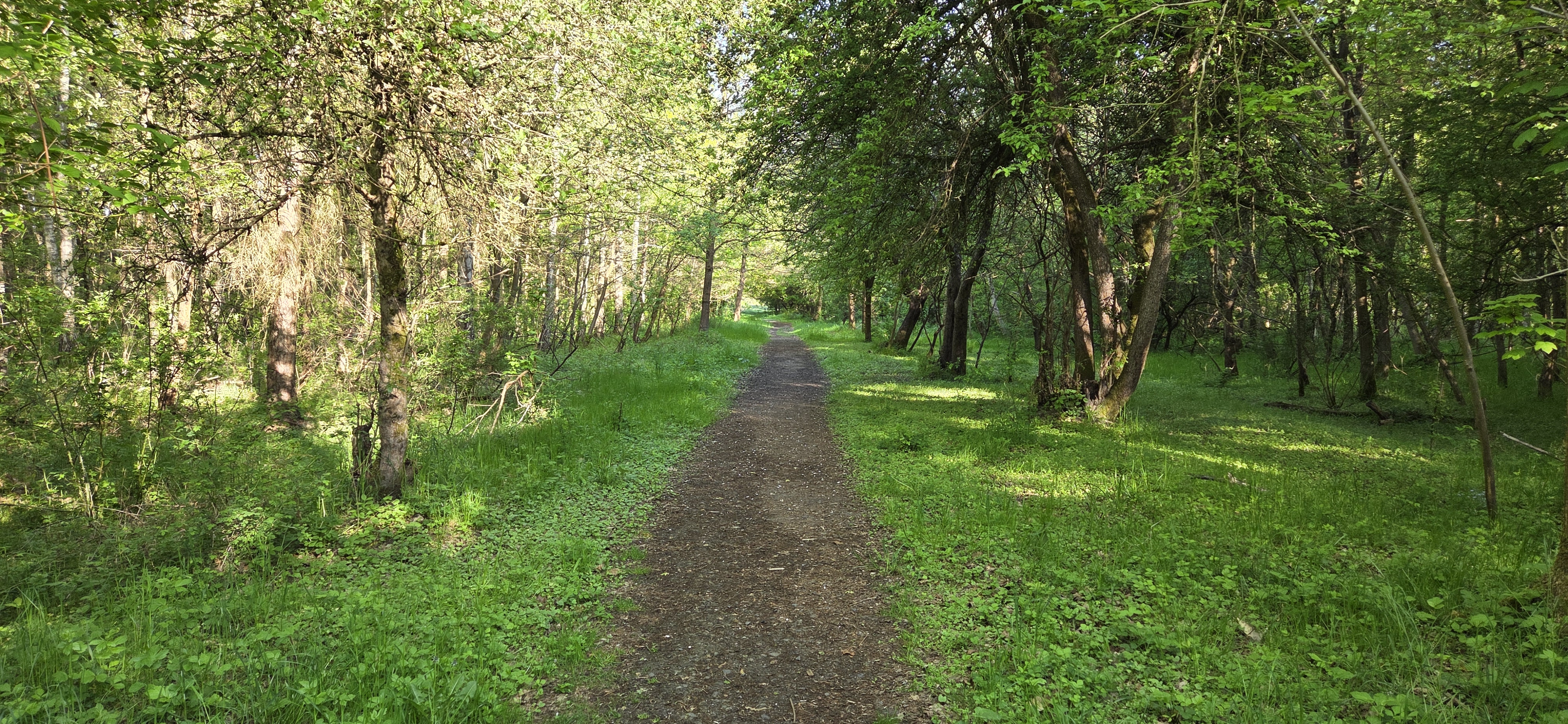
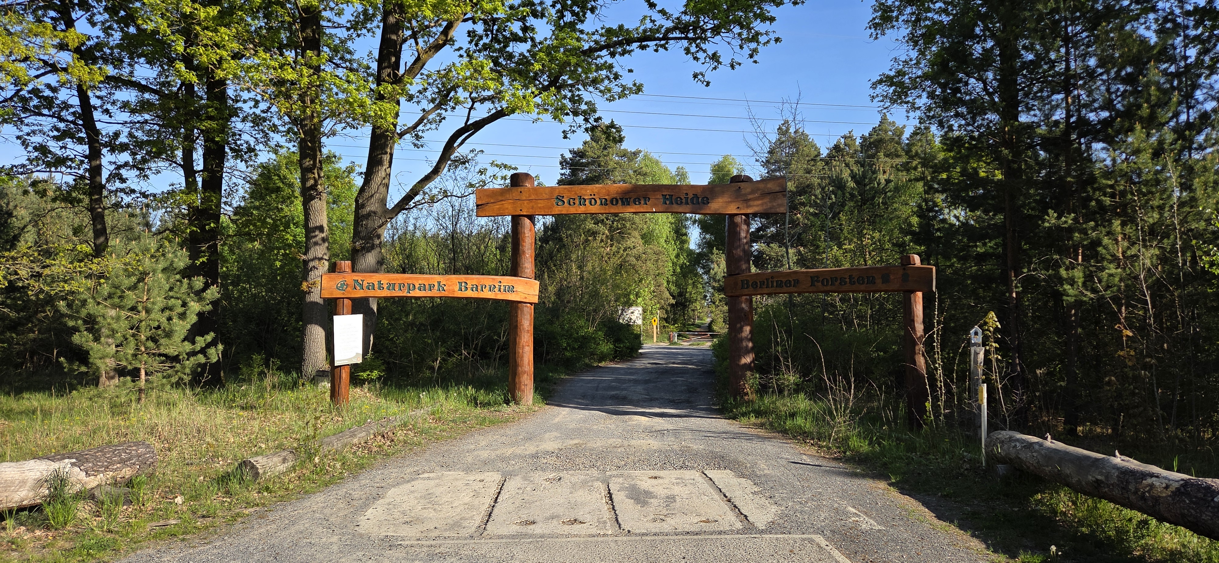
Map of the route “Schönower Heide Runde”: 20.03 km, 869 m of climbing and 871 m of descent, elevation between 79 m and 123 m, time 04:09:44. It is a loop that starts and ends at 52.66001, 13.53260 (latitude, longitude).